GIS Services
Comprehensive Geographic Information System (GIS) solutions for data analysis, mapping, and spatial planning. Our expert team provides tailored GIS services to support informed decision-making across various industries.
Remote Sensing
Advanced remote sensing technologies for comprehensive data collection and analysis. Our state-of-the-art equipment and expert team provide valuable insights for environmental monitoring, urban planning, and resource management.
Drone Technology
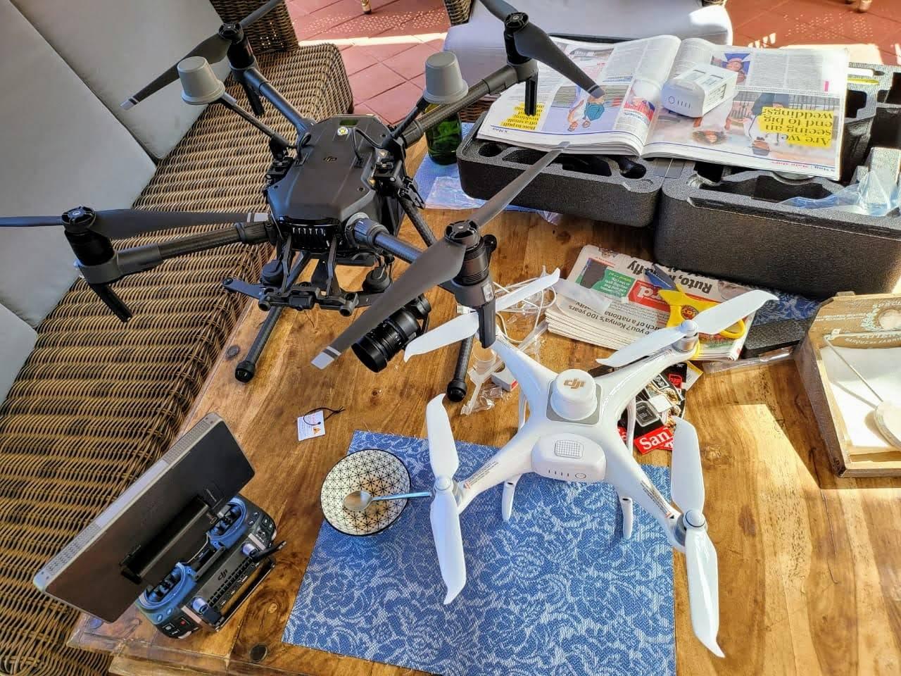
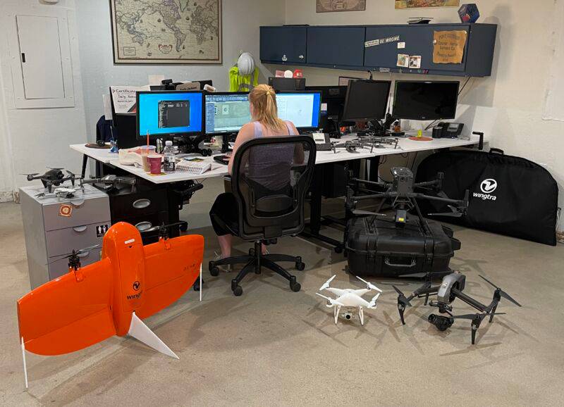
Cutting-edge drone technology for aerial surveying, mapping, and data collection. Our advanced drones provide high-resolution imagery and 3D modeling capabilities for various applications, including construction, agriculture, and environmental monitoring.
About Us
Most private and public institutions in Africa struggle to make life saving, cost effective, timely and environmentally sustainable decisions because they lack access to near-real time, high-resolution, simplified and easily accessible 3D-geospatial data.. Using AI-powered Autonomous vehicles, Geonavigators specialize in providing near real-time and easily accessible 3D geospatial data analytics to solve Africa’s biggest challenges.
-
Innovative Geospatial Solutions
We provide cutting-edge 3D geospatial data analytics to address Africa's most pressing challenges.
-
AI-Powered Technology
Our autonomous vehicles and AI algorithms deliver near real-time, high-resolution geospatial data.
-
Data-Driven Decision Making
We empower institutions with actionable insights for cost-effective and sustainable decision-making.
Industries
We are focused on the following industries for now
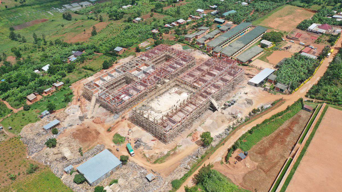
Construction
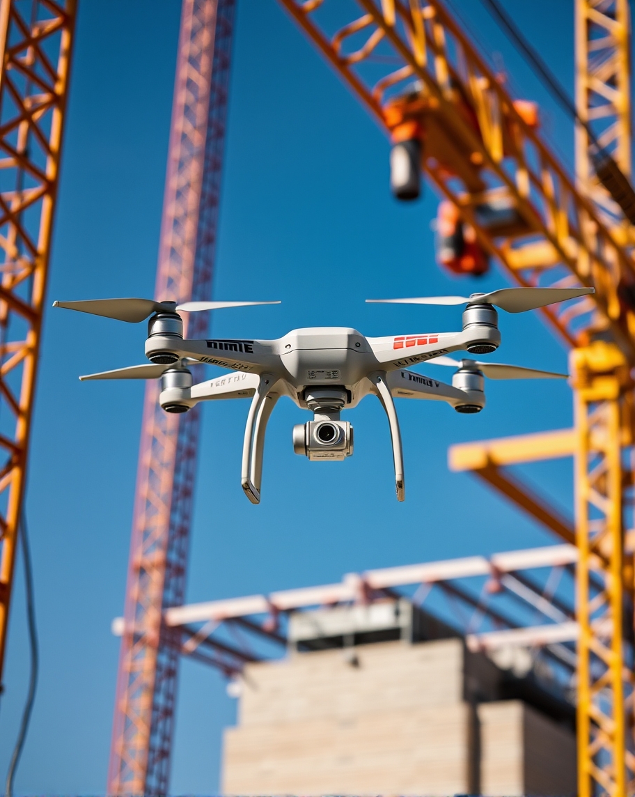
Revolutionizing construction with precise 3D mapping and real-time site monitoring. Our geospatial solutions enhance project efficiency, safety, and cost-effectiveness.

Agriculture
Empowering farmers with advanced crop monitoring, yield prediction, and resource optimization. Our AI-driven insights promote sustainable and productive farming practices.
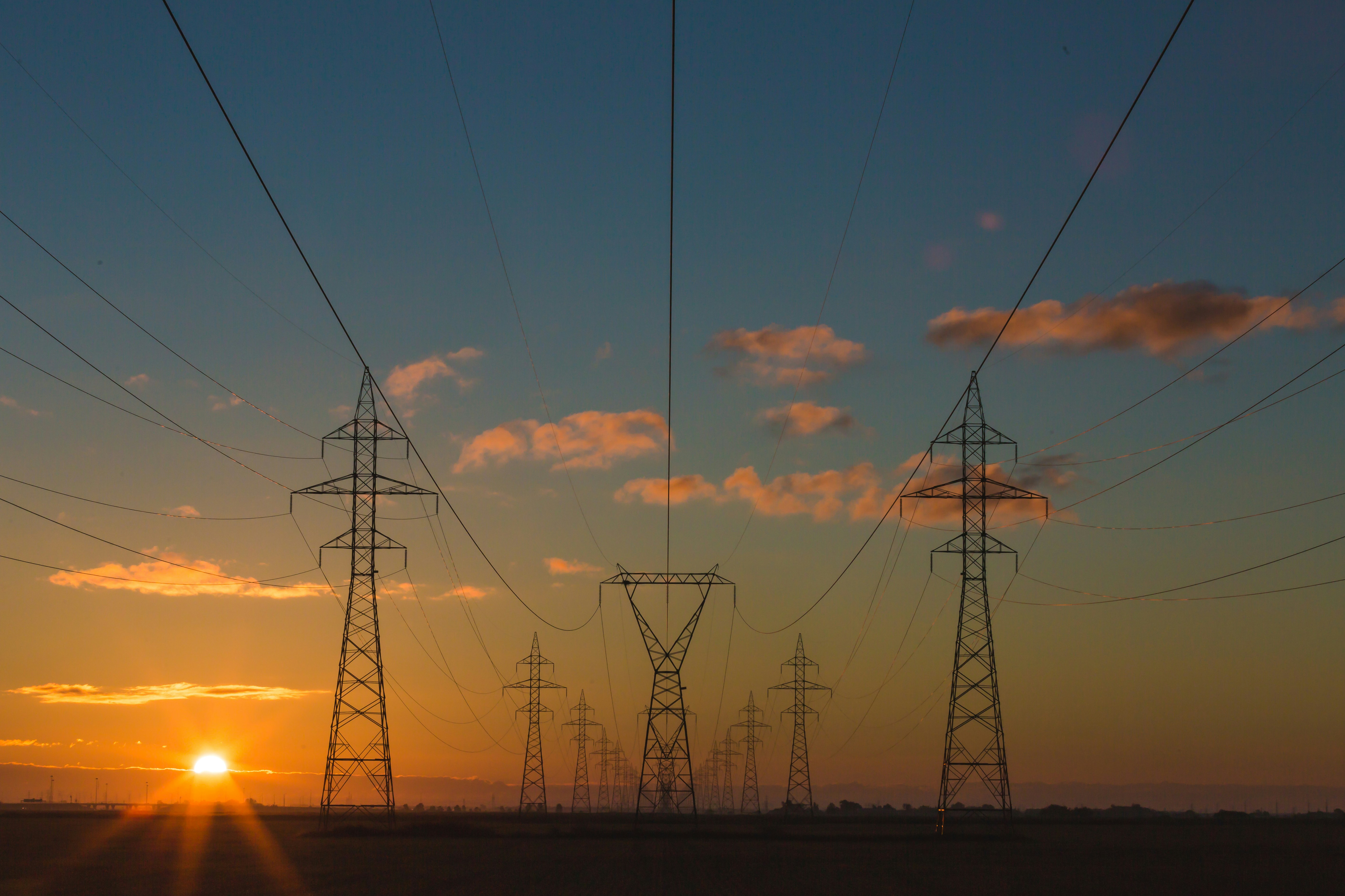
Energy And Telecommunication
Optimizing infrastructure planning and maintenance with high-resolution mapping. We support efficient energy distribution and enhanced network coverage for telecom sectors.
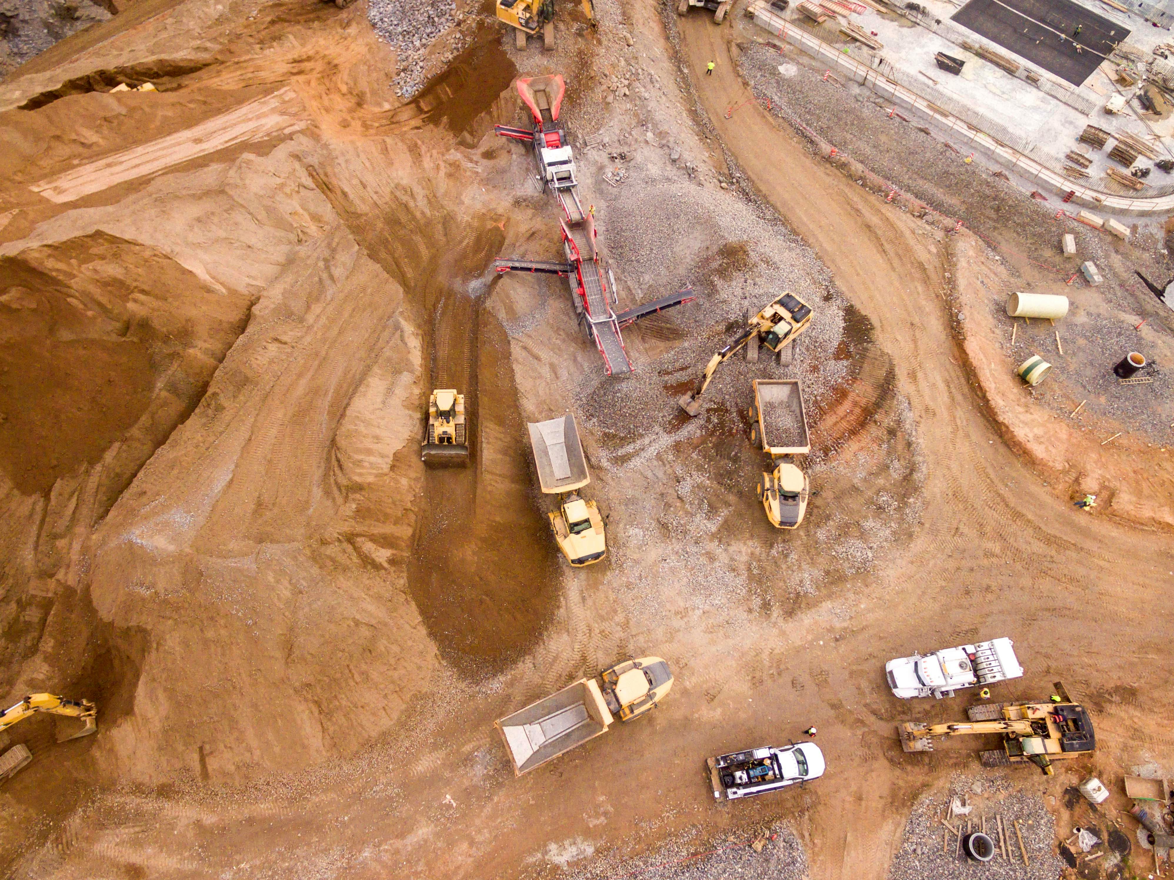
Mining
Enhancing mineral exploration and extraction with accurate terrain analysis and volume calculations. Our solutions promote safer, more efficient, and environmentally responsible mining operations.

Health
Supporting public health initiatives with geospatial analysis for disease mapping and resource allocation. We help optimize healthcare delivery and emergency response planning.

Climate
Providing crucial data for climate change monitoring and mitigation strategies. Our geospatial insights support sustainable development and environmental conservation efforts across Africa.
Book a Free Consultation Today
Take the first step towards transforming your business. Our expert consultants are ready to provide tailored solutions for your unique challenges.
Schedule Your ConsultationWhy Choose Us
Expertise
Our team of skilled professionals brings years of experience in geospatial technologies and industry-specific knowledge.
Cutting-edge Technology
We utilize the latest geospatial technologies and tools to deliver accurate and innovative solutions for your projects.
Client-Centric Approach
We prioritize your needs and work closely with you to ensure our solutions align perfectly with your goals and expectations.
Our Impact
0
People Impacted
0
Flights Completed
0
Countries Covered
0
Flight Hours
0
Hectares Covered
0
Terabytes Processed
Discover Your Needs
We start by understanding your unique requirements and project goals.
Design Your Plan
Our experts create a tailored plan to meet your specific worksite needs.
24/7 Data Access
Get round-the-clock access to your worksite data for real-time insights.
Our Projects
Explore Our Recent Work

Construction Site Mapping
Agricultural Land Survey
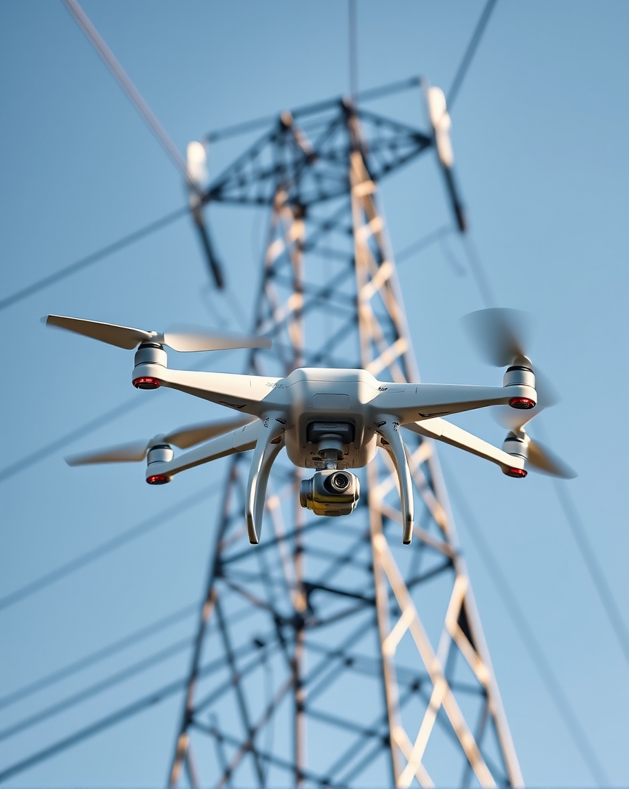
Energy Infrastructure Planning

Mining Site Analysis
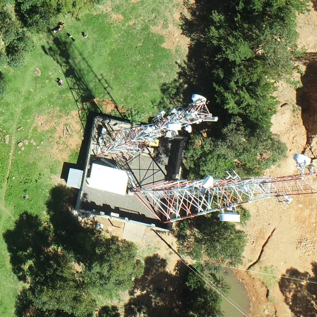
Healthcare Facility Mapping
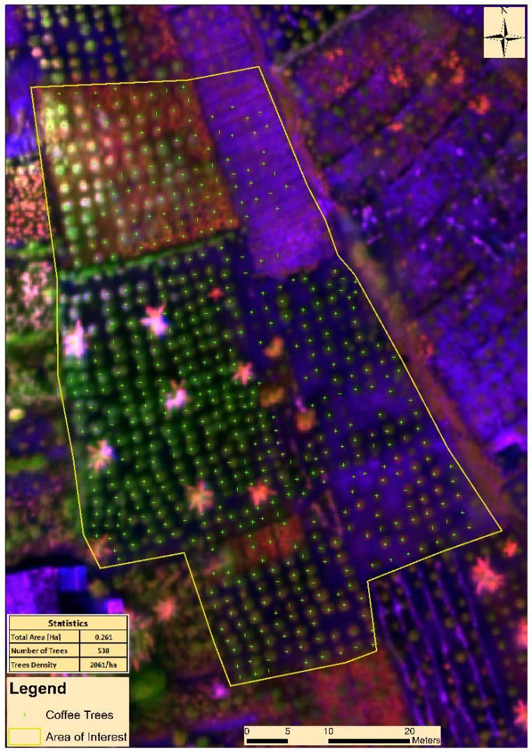
Climate Change Impact Assessment
Frequently Asked Questions
Find answers to common queries about our geospatial services and solutions.
What services does Geonavigators offer?
Geonavigators offers a wide range of geospatial services including GIS mapping, remote sensing, spatial analysis, and custom software solutions. We specialize in providing tailored geospatial solutions for various industries such as construction, agriculture, energy, telecommunications, mining, health, and climate sectors.
How can Geonavigators help my business?
Geonavigators can help your business by providing valuable geospatial insights and solutions. We offer services such as site selection analysis, asset tracking, route optimization, and market analysis. Our tailored solutions can improve decision-making, increase operational efficiency, and give you a competitive edge in your industry. Whether you're in construction, agriculture, or any other sector, our geospatial technologies can help you visualize data, identify patterns, and make informed strategic decisions.
What industries does Geonavigators serve?
Geonavigators serves a wide range of industries, including but not limited to construction, agriculture, energy and telecommunications, mining, health, and climate sectors. Our geospatial solutions are tailored to meet the specific needs of each industry, providing valuable insights and tools for improved decision-making and operational efficiency. Whether you're managing construction projects, optimizing agricultural yields, planning energy infrastructure, or addressing public health challenges, our expertise in geospatial technology can be applied to drive success in your field.
How accurate are Geonavigators' mapping and data collection services?
At Geonavigators, we pride ourselves on the high accuracy of our mapping and data collection services. We use state-of-the-art technology, including high-precision GPS equipment, advanced remote sensing techniques, and rigorous quality control processes. Our accuracy levels typically range from sub-meter to centimeter-level precision, depending on the specific project requirements and environmental conditions. We also employ multiple data validation methods and adhere to industry standards to ensure the reliability of our geospatial data. For projects requiring the highest level of accuracy, we can implement specialized techniques such as RTK (Real-Time Kinematic) GPS surveying.
What kind of support does Geonavigators provide?
Geonavigators provides comprehensive support to ensure our clients get the most out of our geospatial solutions. This includes initial consultation to understand your specific needs, technical support during implementation, training for your team on how to use our tools and interpret data, and ongoing assistance as your projects evolve. We offer both remote and on-site support options, depending on the complexity of the project and client preferences. Our team of experts is always ready to answer questions, troubleshoot issues, and provide guidance on best practices in geospatial technology use.
