About
Geonavigators Africa: Your trusted partner in geospatial solutions, delivering innovative mapping and data services to drive informed decision-making across industries.
About Us
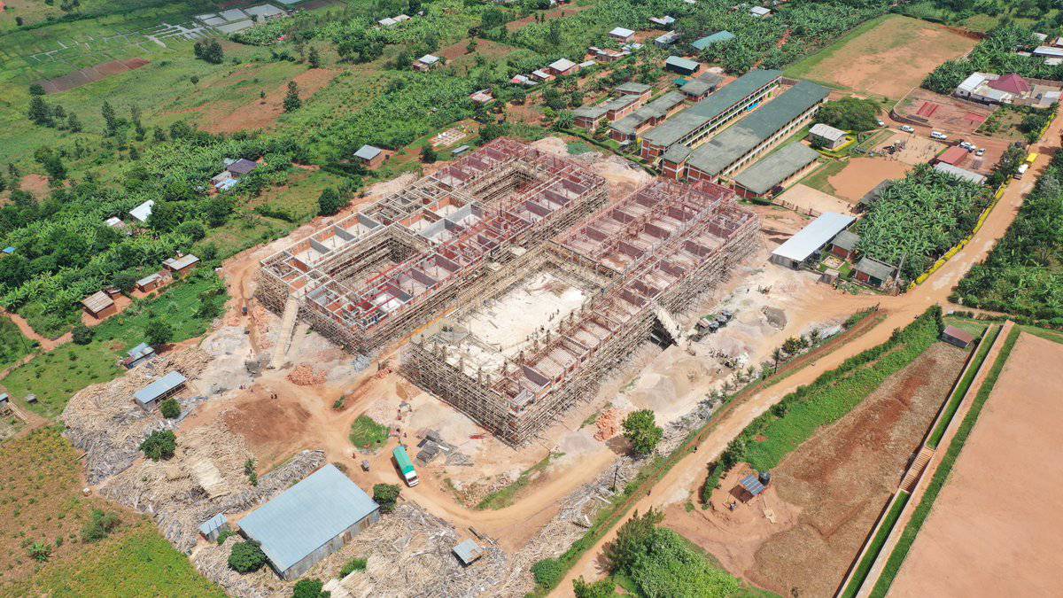
Most private and public institutions in Africa struggle to make life saving, cost effective, timely and environmentally sustainable decisions because they lack access to near-real time, high-resolution, simplified and easily accessible 3D-geospatial data.. Using AI-powered Autonomous vehicles, Geonavigators specialize in providing near real-time and easily accessible 3D geospatial data analytics to solve Africa’s biggest challenges.
-
Innovative Geospatial Solutions
We provide cutting-edge 3D geospatial data analytics to address Africa's most pressing challenges.
-
AI-Powered Technology
Our autonomous vehicles and AI algorithms deliver near real-time, high-resolution geospatial data.
-
Data-Driven Decision Making
We empower institutions with actionable insights for cost-effective and sustainable decision-making.
Our Impact
0
People Impacted
0
Flights Completed
0
Countries Covered
0
Flight Hours
0
Hectares Covered
0
Terabytes Processed
Our Team
Meet the dedicated professionals behind Geonavigators Africa. Our diverse team of experts brings together a wealth of experience in geospatial engineering, data analytics, and innovative technology solutions. With a shared passion for leveraging cutting-edge geospatial data to address Africa's most pressing challenges, our team is committed to delivering excellence in every project we undertake.

Adams
Geospatial EngineerAdams is a skilled geospatial engineer with over 8 years of experience in GIS mapping, remote sensing, and spatial analysis. He leads our technical team in developing innovative solutions for complex geospatial challenges across Africa.

Jared
Geospatial EngineerJared is a dedicated geospatial engineer with 6 years of experience specializing in remote sensing and LiDAR technology. His expertise in data acquisition and processing has been instrumental in our aerial mapping and 3D modeling projects across various African landscapes.

William
Geospatial EngineerWilliam is a versatile geospatial engineer with 7 years of experience in GIS, cartography, and spatial database management. His expertise in developing custom GIS applications and integrating geospatial technologies has been crucial in enhancing our clients' decision-making processes across various sectors in Africa.

