Agriculture
Empowering sustainable farming through geospatial innovation
Revolutionizing the Agricultural Industry
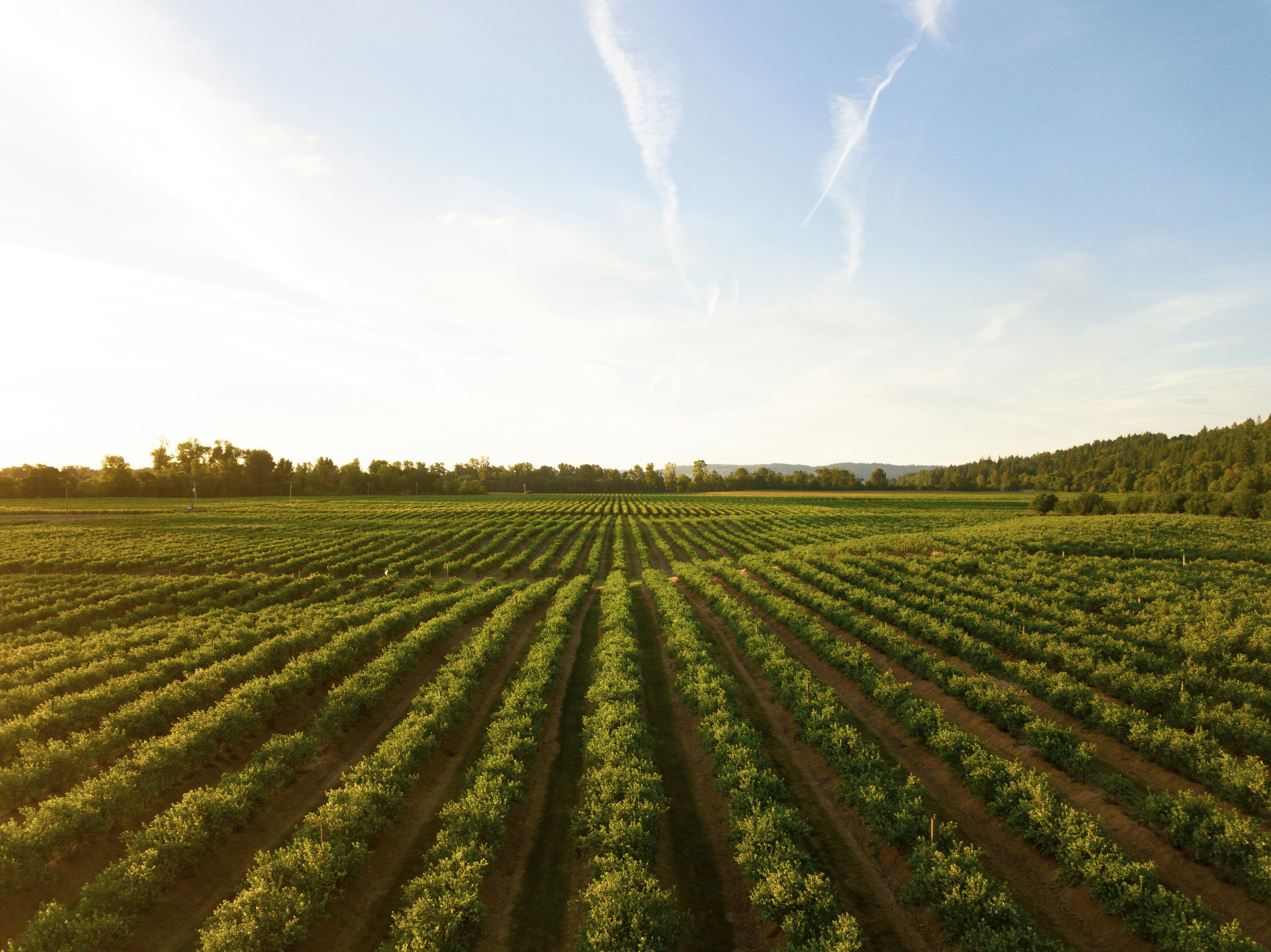
At Geonavigators Africa, we're transforming the agricultural landscape with cutting-edge geospatial solutions. Our advanced technologies and expertise enable more efficient, accurate, and sustainable farming practices from planning to harvest.
- Precision agriculture for optimized crop management
- Soil mapping for improved resource allocation
- Crop health monitoring using remote sensing
- Drone surveys for efficient field analysis
Our Agricultural Services
Precision Agriculture
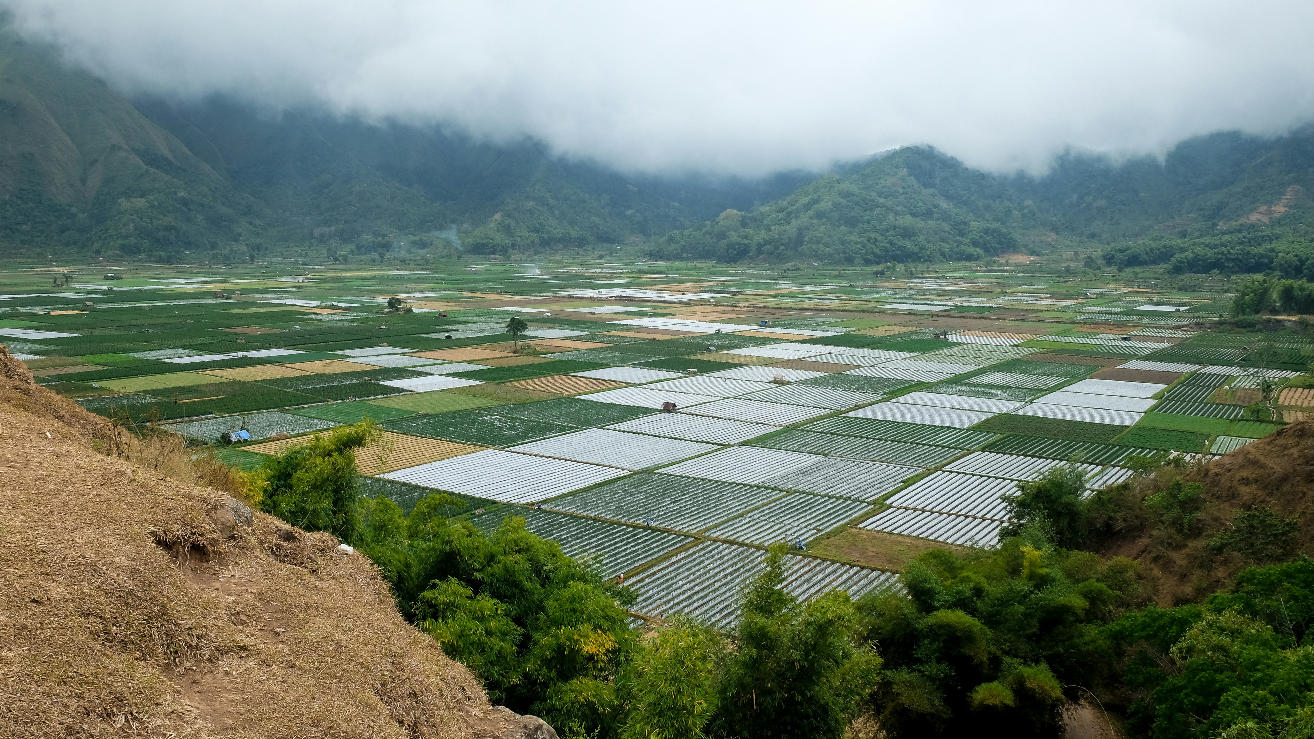
Optimize crop management with GPS-guided machinery and variable rate technology for efficient resource use.

Crop Health Monitoring
Use remote sensing and spectral imaging to detect crop stress, diseases, and nutrient deficiencies early.
Soil Mapping
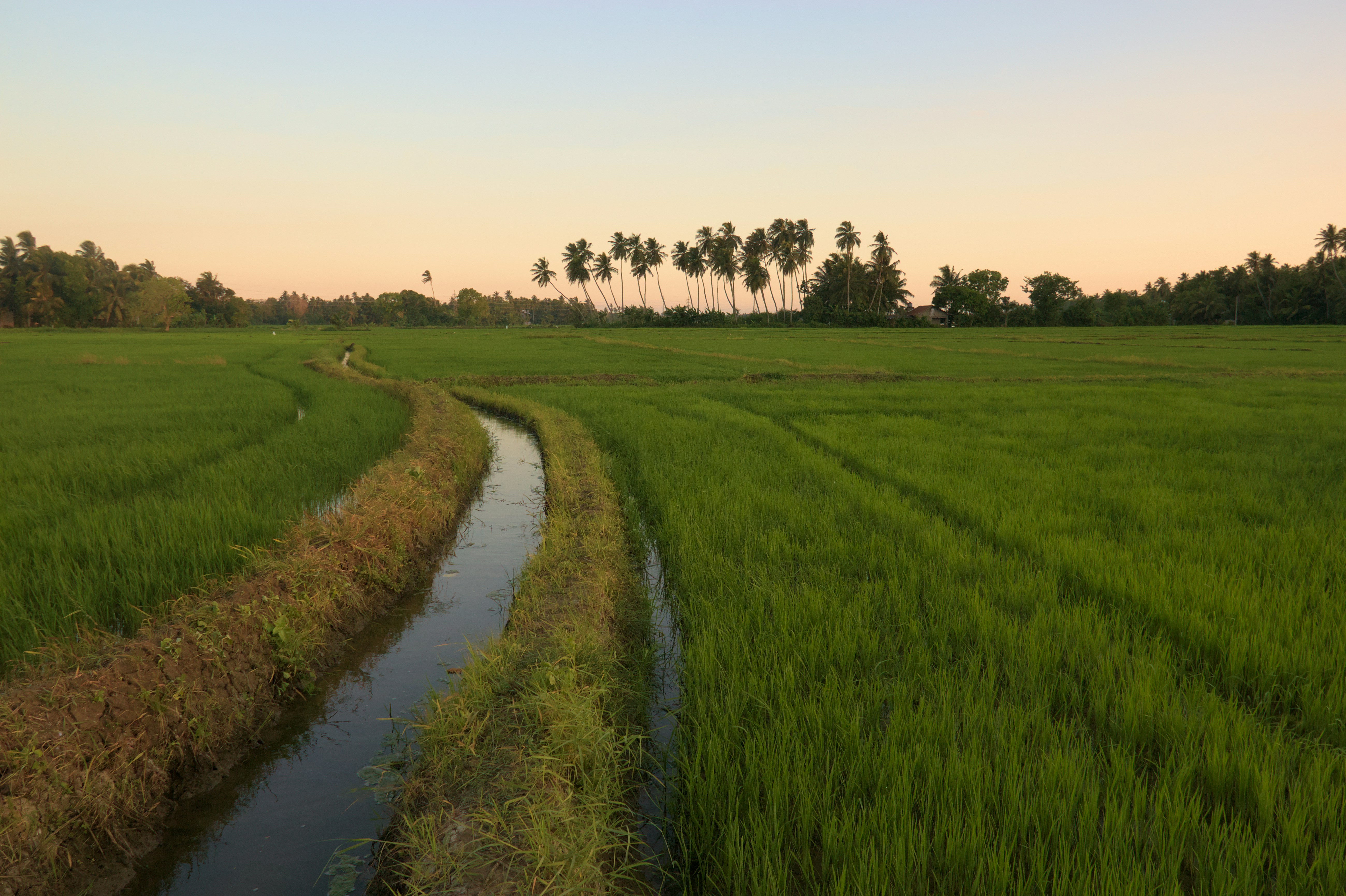
Create detailed soil maps for informed decision-making on fertilization, irrigation, and crop selection.
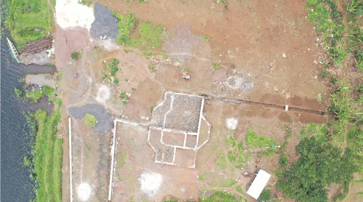
Precision Farming in Kenya's Rift Valley: Leveraging Geospatial Tech for Sustainable Agriculture
Challenge
A large-scale farm in Kenya's Rift Valley experienced inconsistent crop yields and inefficient resource utilization over its expansive acreage, affecting profitability and sustainability.
Solution
We at Geonavigators Africa curated and delivered a remedy fit for purpose and scale. This included high-resolution soil mapping for optimal crop placement, drone-based crop health monitoring and detection to detect stress early, and GPS-guided variable rate technology (VRT) for precise fertilizer and irrigation application.
Technologies Used
- Soil Mapping: Comprehensive soil data helped identify nutrient-rich zones, allowing for targeted planting strategies that matched crop types to ideal soil conditions.
- Drone-Based Crop Monitoring: Provided real-time insights into crop health and early detection of issues like pests or diseases, enabling faster interventions.
- GPS-Guided Variable Rate Technology (VRT): Automated the precise application of water and fertilizers, ensuring that resources were used where they were most needed, reducing waste and increasing efficiency.
- Improved crop quality and consistency across the farm
Results
- 25% Increase in Overall Crop Yield: Optimized planting and resource allocation directly led to higher yields and more consistent crop quality across the farm.
- 30% Reduction in Water Usage: Tailored irrigation based on soil and crop data significantly reduced water consumption, enhancing sustainability.
- 20% decrease in fertilizer costs : VRT allowed for targeted fertilizer application, lowering costs while maintaining soil health and crop quality.
- Improved Crop Quality: Enhanced monitoring and optimized resource management led to more uniform, high-quality crops.
Ready to Revolutionize Your Agricultural Operations?
Let our geospatial solutions enhance your farm's productivity and sustainability.
Book Consultation