Construction
Transforming the built environment with precision geospatial solutions
Revolutionizing the Construction Industry
At Geonavigators Africa, we're transforming the construction landscape with cutting-edge geospatial solutions. Our advanced technologies and expertise enable more efficient, accurate, and cost-effective project management from planning to completion.
- Precise 3D mapping for better project planning
- Real-time site monitoring for enhanced safety
- Accurate volume calculations for resource optimization
- Drone surveys for rapid data collection

Our Construction Services
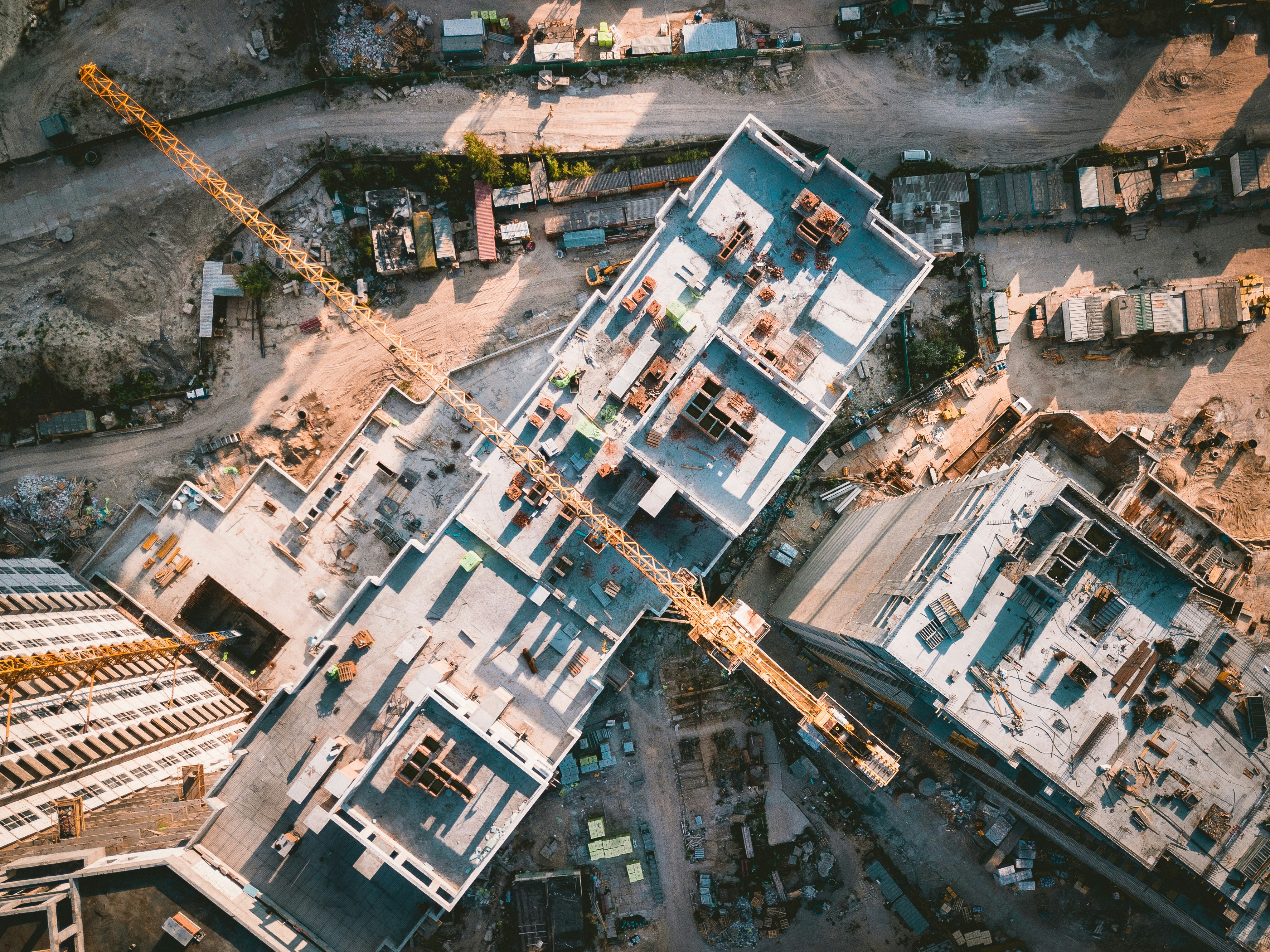
3D Mapping & Modeling
Create accurate 3D models of construction sites for better visualization and planning.

Real-time Site Monitoring
Monitor construction progress and ensure safety with our advanced monitoring solutions.
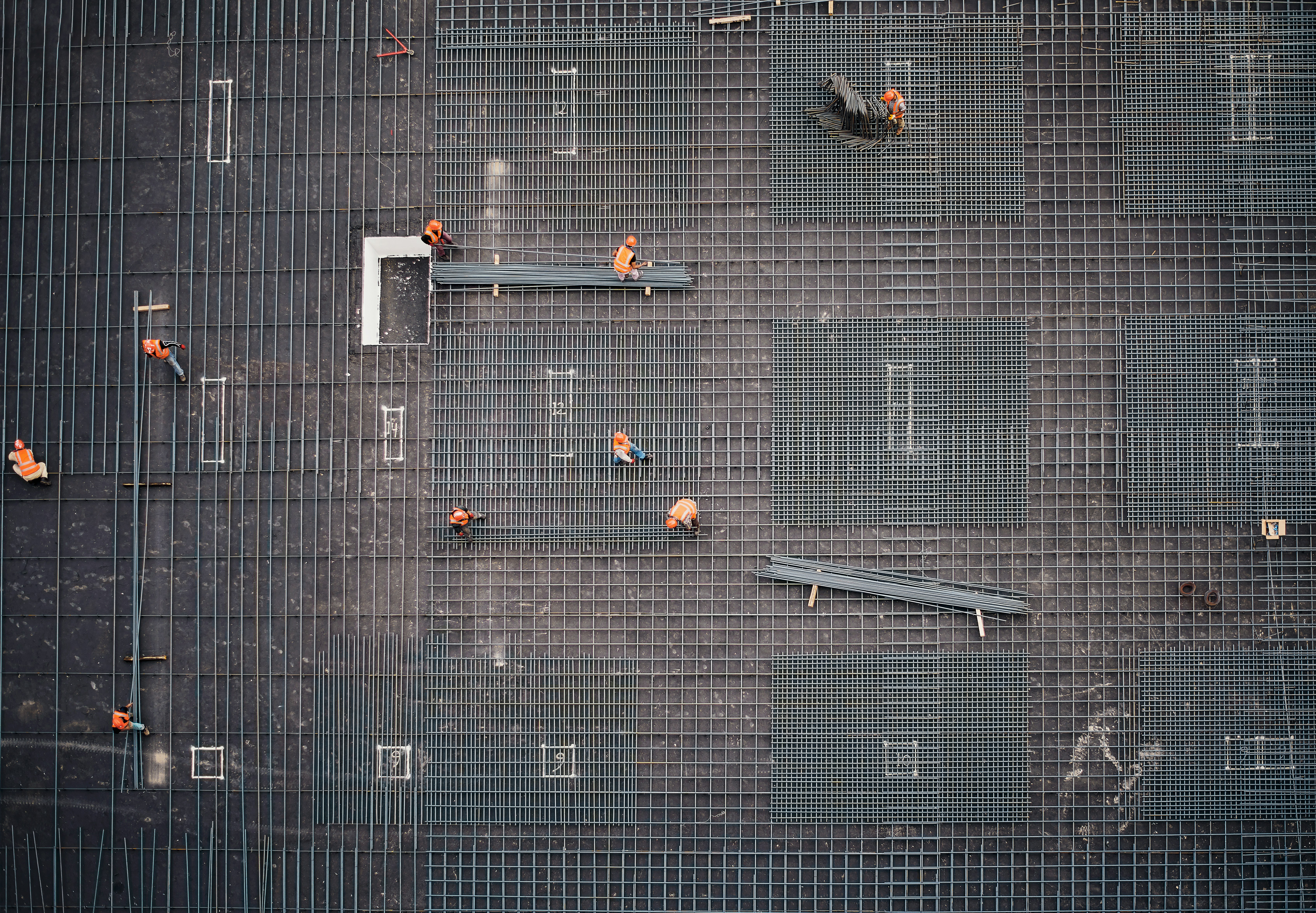
Volume Calculation
Accurately calculate earthwork volumes for efficient resource management and cost control.
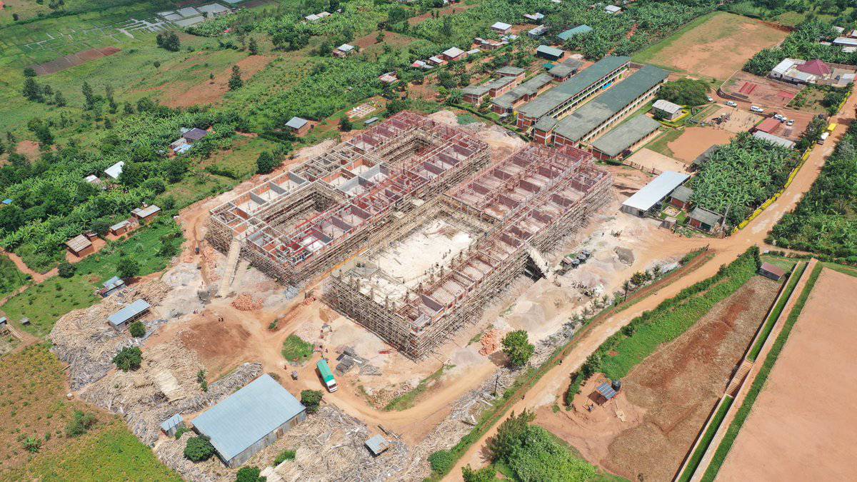
Nairobi Skyline Project
Revolutionizing Urban Development with Cutting-Edge Geospatial Technology
Challenge
A major construction firm undertaking a sprawling urban development project in Nairobi but struggled with workflow inefficiencies, resource wastage, and safety concerns on-site. The complexity of the project demanded more precise planning, real-time data, and streamlined communication.
Solution
Geonavigators Africa implemented an advanced geospatial custom package tailored to their necessity. This included fine high-resolution 3D mapping to 1mm accuracy, real-time drone- based site monitoring, and volumetric analysis for precise material management. Our solution provided dynamic insights, enhancing project coordination, and safety protocols.
Technologies Utilized
- 3D Mapping and Modeling:Provided a comprehensive visual representation of the site for better planning and communication among stakeholders.
- Drone Surveillance & Real-Time Monitoring: Enabled continuous site observation, ensuring safety compliance and tracking the project's progress in real time.
- Volumetric Calculations: Delivered precise data on material usage, reducing over- ordering and minimizing costs.
Results
- 30% Reduction in Project Timeline: The integration of real-time geospatial data significantly improved decision-making and accelerated construction schedules.
- 20% Cost Savings on Resource Allocation: Optimized material management and resource distribution reduced waste and unnecessary expenses.
- Enhanced Site Safety: Real-time drone monitoring allowed for proactive safety measures, mitigating risks and improving on-site efficiency.
- Improved Stakeholder Communication: High-fidelity 3D visualizations facilitated clearer communication, ensuring that all stakeholders had a detailed and accurate view of project milestones, reducing delays caused by miscommunication.
Ready to Transform Your Construction Projects?
Let our geospatial solutions elevate your construction efficiency and accuracy.
Book Consultation