Geospatial Solutions
Empowering decisions through advanced geospatial technologies
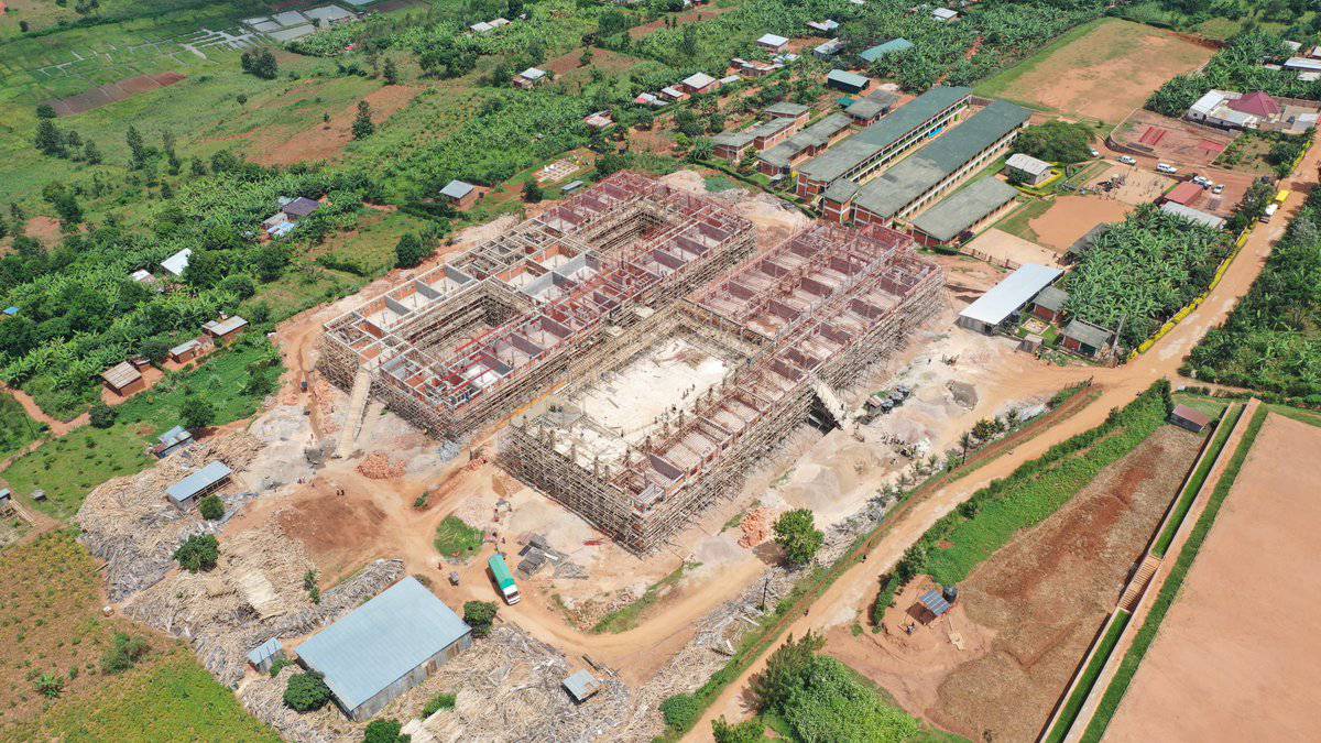
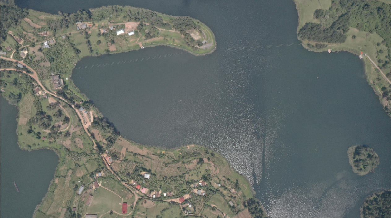
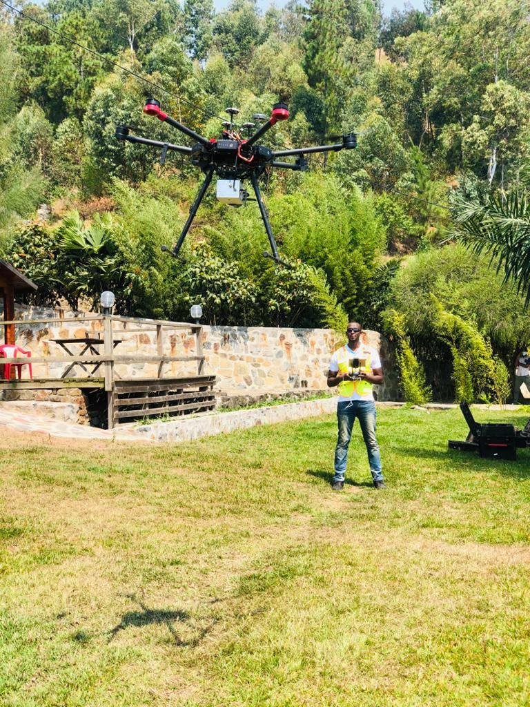
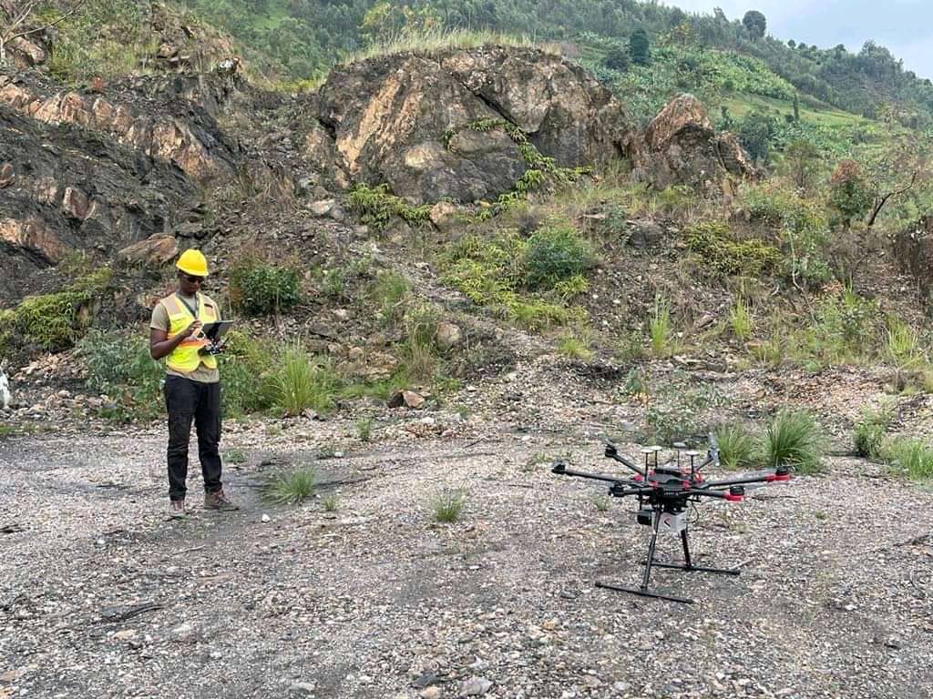
UAV Images Aerial Triangulation
Precision mapping using advanced photogrammetry techniques. Our UAV aerial triangulation service covers up to 500 hectares per day with centimeter-level accuracy, processing over 1000 images for each project.
DSM Generation
Create high-resolution Digital Surface Models (DSMs) from UAV imagery. Our advanced processing techniques produce detailed 3D representations of terrain and surface features, with typical resolutions of 5-10 cm/pixel and vertical accuracies of 10-20 cm.
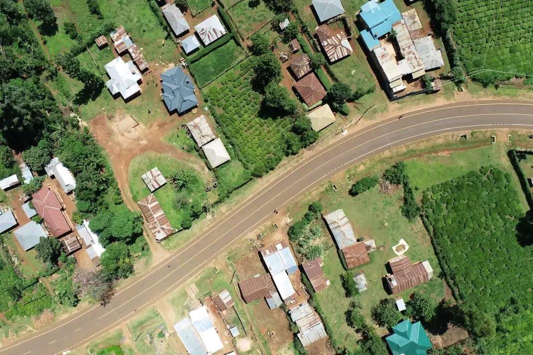
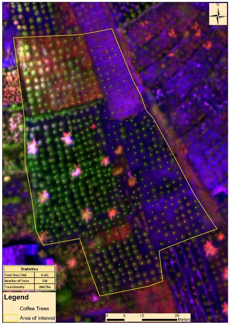
Planimetric features collection
Extract detailed 2D features from high-resolution imagery. Our planimetric mapping service typically identifies over 50 feature classes, including buildings, roads, vegetation, and water bodies, with positional accuracies of 15-30 cm. We process an average of 10 square kilometers per day.
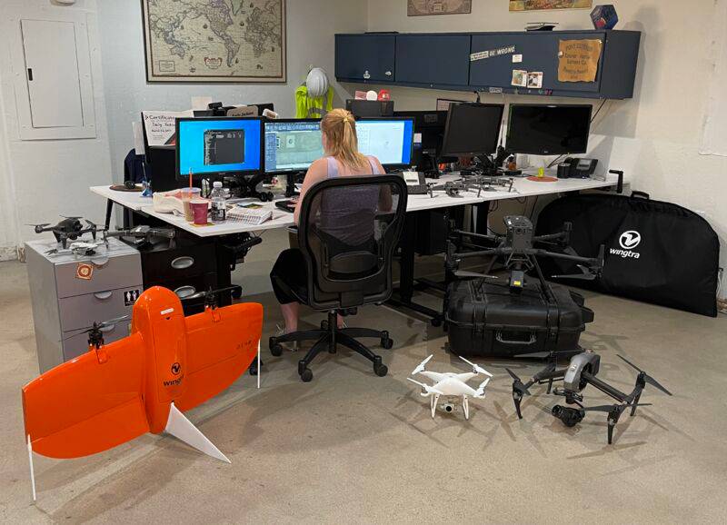
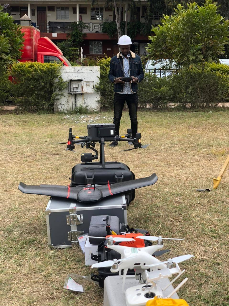
Our Services
We offer a comprehensive range of geospatial services, leveraging cutting-edge technology and expertise to deliver high-quality solutions for various industries. Our services include UAV imagery processing, digital elevation modeling, orthorectification, and detailed feature extraction.
Digital Elevation Model (DEM)
Our DEM service creates high-resolution 3D representations of terrain surfaces. We process an average of 50 square kilometers per day, achieving vertical accuracies of 10-15 cm and horizontal resolutions of 0.5-1 meter. Our DEMs are crucial for applications in flood modeling, urban planning, and precision agriculture.
Ortho Rectification and Mosaic
Our orthorectification service transforms raw aerial or satellite imagery into geometrically corrected orthophotos. We process an average of 100 square kilometers per day, achieving horizontal accuracies of 15-30 cm. Our mosaics seamlessly blend multiple images, covering areas up to 1000 square kilometers with consistent color balancing and edge matching.
Digital Surface Model (DSM) Generation
Our DSM generation service creates high-resolution 3D models of both terrain and surface objects. We process an average of 40 square kilometers per day, achieving vertical accuracies of 5-10 cm and horizontal resolutions of 0.25-0.5 meters. Our DSMs are essential for urban planning, telecommunications, and forestry applications, capturing detailed information on buildings, vegetation, and other above-ground features.
Planimetric Features Collection
Our planimetric feature collection service extracts detailed 2D vector data from high-resolution imagery. We process an average of 30 square kilometers per day, capturing features such as buildings, roads, vegetation, and water bodies with horizontal accuracies of 10-20 cm. This service is vital for creating accurate base maps, GIS databases, and supporting urban planning and infrastructure management projects.
LiDAR Mapping
Our LiDAR mapping service provides high-precision 3D point cloud data. We process an average of 20 square kilometers per day, achieving vertical accuracies of 3-5 cm and horizontal resolutions of 10-20 points per square meter. Our LiDAR data is crucial for detailed terrain modeling, forestry inventories, and infrastructure mapping, offering unparalleled accuracy even in areas with dense vegetation or complex urban environments.
Topographical Survey
Our topographical survey service provides detailed mapping of land surfaces and features. We survey an average of 10 hectares per day, achieving vertical accuracies of 1-2 cm and horizontal accuracies of 2-3 cm. Our surveys capture elevation contours, natural and man-made features, and property boundaries, essential for site planning, civil engineering projects, and land development.
Advanced Geospatial Solutions
Discover the advanced capabilities that set our geospatial services apart from the rest:
High-precision LiDAR mapping with 0.5cm accuracy
Our high-precision LiDAR mapping service offers unparalleled accuracy with a vertical precision of 0.5cm. This level of detail enables:
- Precise 3D modeling of urban environments for smart city planning.
- Detailed forest inventory and biomass estimation for ecological studies.
- High-resolution terrain mapping for flood risk assessment and management.
AI-powered feature extraction from satellite imagery
Our AI-powered feature extraction from satellite imagery leverages cutting-edge machine learning algorithms to automatically identify and classify objects and patterns in satellite images. This advanced technology offers:
- Rapid land use and land cover mapping, processing up to 10,000 km² per day.
- Automatic detection of urban infrastructure with 95% accuracy, including buildings, roads, and utilities.
- Crop type identification and health assessment across large agricultural areas, covering 5,000 hectares daily.
Custom GIS integration for seamless data management
Our custom GIS integration solutions streamline your geospatial data management, analysis, and visualization processes. We tailor our services to meet your specific needs, ensuring efficient and effective use of spatial information across your organization.
- Seamless integration of multiple data sources, including satellite imagery, LiDAR data, and traditional GIS datasets.
- Development of user-friendly interfaces for easy data access and manipulation, increasing productivity by up to 40%.
- Implementation of advanced spatial analysis tools, enabling complex queries and decision-making support in real-time.
Cutting-edge photogrammetry techniques for detailed orthoimagery
Our cutting-edge photogrammetry techniques deliver high-resolution orthoimagery, providing unparalleled detail and accuracy for various applications. By leveraging advanced image processing algorithms and state-of-the-art equipment, we produce precise visual representations of geographical areas.
Our photogrammetry services offer numerous benefits, including: • Creation of highly accurate digital elevation models (DEMs) with vertical accuracy up to 5 cm. • Generation of orthorectified imagery with resolution as fine as 2 cm/pixel for urban areas. • 3D modeling capabilities for infrastructure and cultural heritage sites, preserving details down to 1 mm. • Rapid data acquisition and processing, covering up to 10 km² per day for large-scale mapping projects.